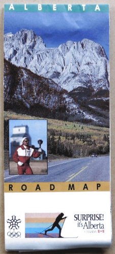
Description: Here's a nice, large road map for the Province of Alberta, Canada, published by the Department of Tourism. One side shows a typical road map with all the main roads, cities, towns, distances, etc. There's even a numbered key to 14 separate "Tourist Zones".
The other side carries quite a few small, basic city maps for Lloydminster, Red Deer, Drumheller, St. Albert, Medicine Hat, Edmonton, Grand Prairie, Fort Saskatchewan, Leduc, Airdrie, Camrose, Spruce Grove, Fort McMurray, Lethbridge, and Calgary. There's also a mileage chart showing the distances between more than 40 locations in the province.
Size: Folded: approx. 10" x 4.25"
Open: approx 37.5" x 20"
Date: 1987
Condition: Very good, I'd say. The map is very clean, with no tears or extraneous markings, and just a mild bend at the bottom. (Please see photos.)
**NOTE**: Shipping charges are discounted when more than one of my items are purchased at the same time. See what else I have to offer!